Two fall drives trade the fastest route for farms, forests, mountain history and the pleasures of stopping along the way.
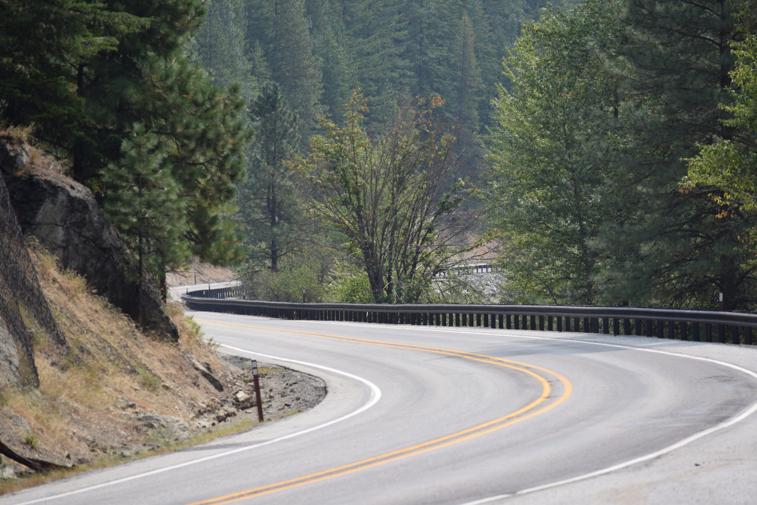
Fall is a season for taking the road that takes a little longer. These two drives through North Central Washington can stand alone or connect at Peshastin, carrying travelers from the open country around Cle Elum across Blewett Pass, then through orchards, farms and mountain communities before returning through Tumwater Canyon.
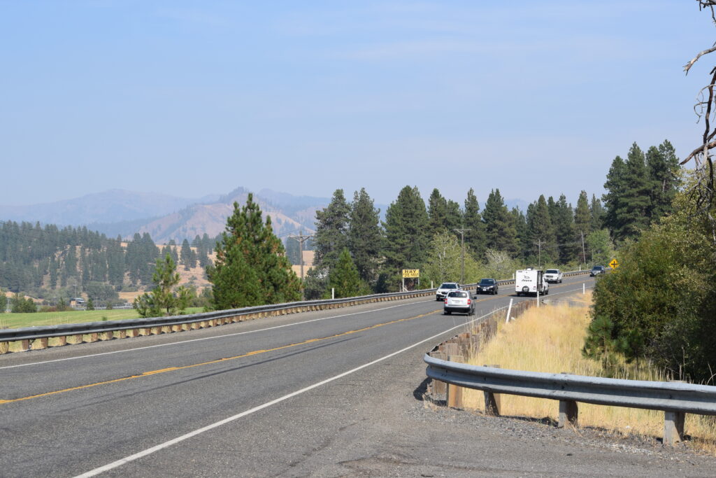
Blewett Pass: Leave the interstate behind
Western Washington has no shortage of reasons to make the trip across the Cascades. There are football games and ferries, the Space Needle and the state Capitol, concerts and museums and everything else that comes with the wetter, more crowded side of the state.
But eventually, you have to come home.
From Seattle, Interstate 90 makes that relatively easy. Cross Snoqualmie Pass, descend toward Cle Elum and the highway is perfectly happy to carry you east at 70 mph.
Don’t let it.
If there is an afternoon to spare, leave the interstate at Cle Elum and point the car toward Highway 970 and Blewett Pass instead. Maybe the purpose is to scout next summer’s campgrounds. Maybe it is to see what fall has begun doing to the mountains. Maybe, after a weekend spent amid Western Washington traffic and noise, there is simply no reason to hurry back into the routine.
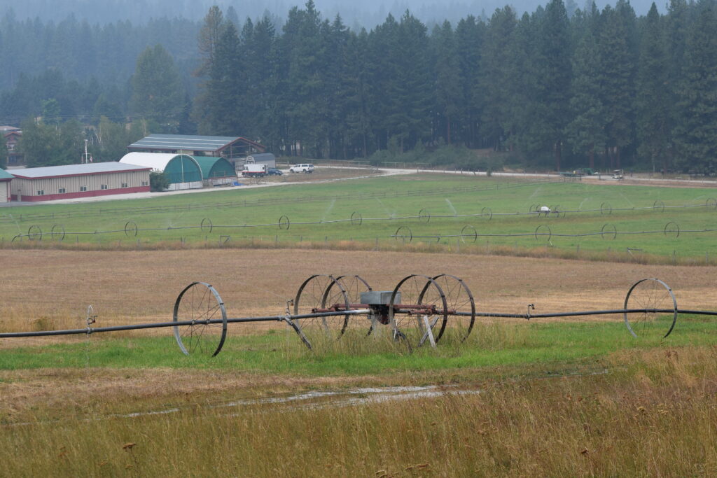
The first few miles make the case. Around Teanaway, irrigated fields and working farms spread beneath forested ridges. Tractors and wheel-line irrigation equipment occupy the foreground while the Cascades rise behind them. It is still working country, but the scale has changed dramatically from the interstate just a few miles away.
Highway 970 meets U.S. Highway 97 and the road begins its journey toward Blewett Pass. The open country gradually tightens as the highway climbs, passing First Creek, Sauk Prairie and Hidden Valley on its way into thicker forest. Ponderosa pine and fir dominate the slopes, but stands of deciduous trees gather in draws and wetter ground, patches of green in late summer that turn conspicuous shades of yellow as autumn takes hold.
Then come the curves.
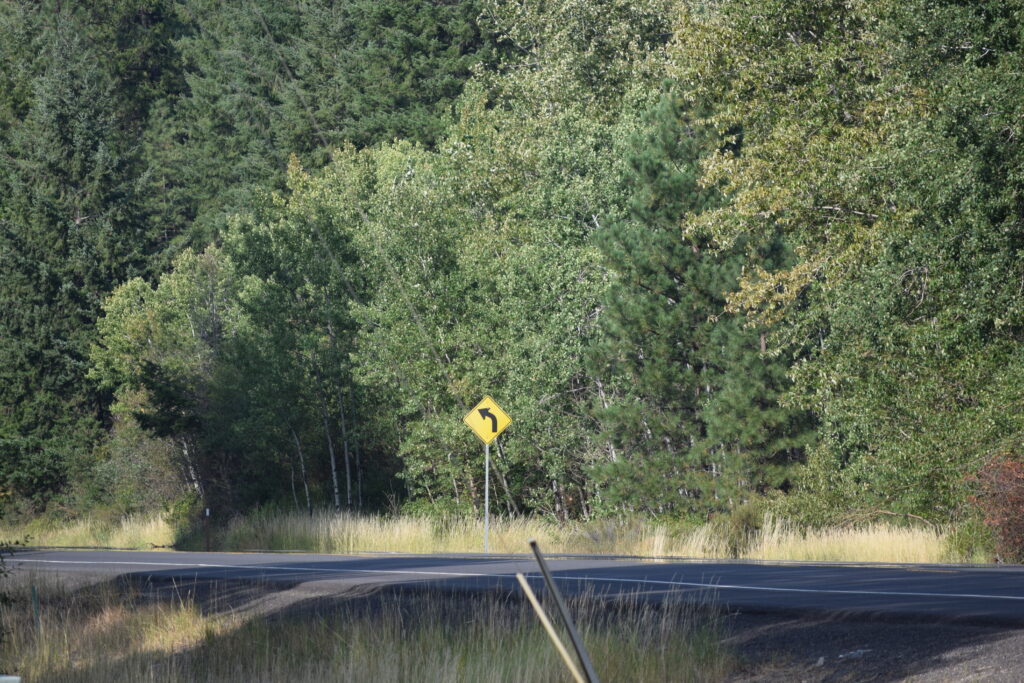
The yellow warning signs become a recurring feature of the drive, each bent arrow announcing another turn through the forest. Highway 97 follows the terrain rather than conquering it, bending around hillsides, climbing through narrow valleys and repeatedly revealing another stretch of mountain country around the next corner.
That is also where the temptation to stop begins.
Small roadside pullouts and picnic areas appear along the route, some little more than a table tucked beneath the trees. They are easy to pass when the destination matters more than the journey. On an afternoon devoted to the journey, they become an excuse to get out of the car, stretch your legs and listen to a forest that sounds considerably different without an engine running through it.
The highway also passes through country with a much older story than today’s pavement suggests. Gold discoveries in the 19th century drew prospectors into the mountains, and mining settlements appeared in places that now seem improbably remote. The community of Blewett grew around that activity, while an earlier route across the mountains followed what is now known as Old Blewett Pass Highway.
Today’s Highway 97 takes a different path, the result of a later realignment that made the crossing considerably easier. The old road remains in pieces, a reminder that crossing these mountains once required considerably more patience than deciding whether to stop for a picnic.
Liberty provides another surviving connection to the mining era. The historic community sits off the highway, but travelers on Highway 97 do not have to make the detour to be reminded that they are passing through it. Liberty Cafe provides an unmistakable roadside landmark and an opportunity for another kind of stop before the climb continues.
Past Liberty, the road works deeper into the mountains. Forest closes around the highway, rocky slopes appear between the trees and glimpses into the surrounding country reveal just how far the road has climbed from the farms around Teanaway.
Blewett Pass tops out at 4,102 feet before Highway 97 begins its descent toward the Wenatchee Valley. The forest changes again along the way, eventually loosening its grip as the road follows mountain drainages toward Peshastin Creek. What began among the broad fields near Cle Elum ends among the orchards of Chelan County.
At Peshastin, Highway 97 meets Highway 2. Turning east will get you toward Wenatchee quickly.
But by now, that would seem to miss the point.

From orchards to Tumwater Canyon
From Peshastin, Highway 2 offers the obvious route west toward Leavenworth. North Road offers another.
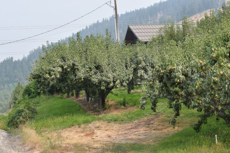
The traffic falls away almost immediately. North Road follows the quieter side of the Wenatchee River through orchard country, winding between the water and hills covered in apple and pear trees. Across the river, old farmhouses and barns sit among orchards that spread across the valley floor and climb toward pine-covered slopes.
This is not scenery created for visitors. Irrigation lines, farm equipment, utility poles and fruit trees make clear that it is working agricultural country. Yet the Wenatchee River repeatedly appears below the road, sometimes broad and quiet and sometimes partly concealed by trees, while mountains fill more of the horizon as the road approaches Leavenworth.
North Road eventually bends back toward Highway 2 and town. Leavenworth can consume an afternoon by itself, but on this drive it can just as easily serve as a crossroads. Stop for coffee or lunch, walk around for a while, then turn north onto Chumstick Highway and watch the crowds disappear behind you.
Chumstick Highway follows the creek through a narrow valley of forest, homes, pasture and small farms. Pine and fir cover the surrounding slopes while cottonwoods and other deciduous trees cluster around water and homes, adding increasing amounts of yellow as autumn advances.
At Merry Canyon Road, a highway sign neatly summarizes the choice. Leavenworth is nine miles behind you. Plain is five miles ahead.
Choose Plain.
The country opens again as the road approaches the community. Irrigated fields spread across the valley floor beneath walls of dark forest. Ranches, barns and outbuildings replace the dense orchards around Peshastin, and wheel-line irrigation equipment stretches across open pasture.
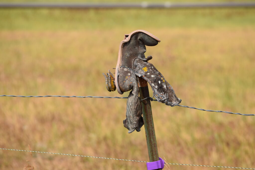
There are also things no map is likely to recommend. Beside one gravel road, an old covered wagon and milk can sit against the fields. Along the fence beyond it, weathered cowboy boots have been planted upside down atop the posts, some still wearing their spurs. One has spent enough seasons outside for lichen to grow across the leather.
There is no scenic-overlook sign pointing toward it. You simply have to notice.
Continue through Plain toward Lake Wenatchee and the landscape closes in once more. Open fields give way to increasingly dense forest as the road heads toward the mountains. Lake Wenatchee itself requires a deliberate turn toward Lake Wenatchee State Park or another access point; the lake is not presented as a roadside vista along this loop.
There is plenty left without it.
Highway 207 turns south toward Coles Corner. From there, Highway 2 heads east and soon enters the most dramatic landscape of the loop.
Tumwater Canyon squeezes the highway, Wenatchee River and mountains into the same narrow passage. Granite walls rise beside the road while the river runs close below it, tumbling through boulders and rapids. Evergreen forest covers the slopes, with deciduous trees along the water bringing another layer of fall color.
The corridor has carried travelers for generations. Indigenous people moved along the Wenatchee River long before permanent white settlement. Wagon roads and railroads followed, including the Great Northern Railway, and eventually the modern highway found its way through the canyon. The same challenge is still obvious from the driver’s seat: rock and river do not leave much room between them.
Fortunately, modern travelers have considerably more comfortable reasons to stop.
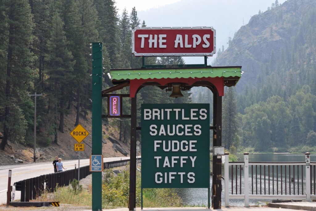
The Alps Candy sits beside Highway 2 with the river immediately behind it, the sort of roadside attraction that belongs naturally on a drive with nowhere urgent to be. Brittle, sauces, fudge, taffy and gifts offer one more excuse to pull over before the final run through the canyon.
From there, Highway 2 bends alongside the Wenatchee River until the canyon walls retreat and Leavenworth reappears from the west. Continue through town and the highway follows the river east through orchard country toward Peshastin, completing the loop where the Blewett drive ended.
Neither route requires an entire day. That does not mean either should be rushed.
Together, they show off something that an interstate rarely can: the gradual changes that make Central Washington distinct. Ranch country becomes mountain forest. Mountain forest becomes orchard country. Orchards give way to farms and pasture, then forest closes around the road before granite and rushing water take over in Tumwater Canyon.
The fastest road will still be there tomorrow.
For an autumn afternoon, take the one that gives you a reason to stop.
Andrew Simpson: 509-433-7626 or andrew@ward.media
Join the Club
Like this story? You’ll love our monthly newsletter.
Thank you for subscribing to the newsletter.
Oops. Something went wrong. Please try again later.